Brief by Shorts91 Newsdesk / 03:48pm on 23 Apr 2024,Tuesday International
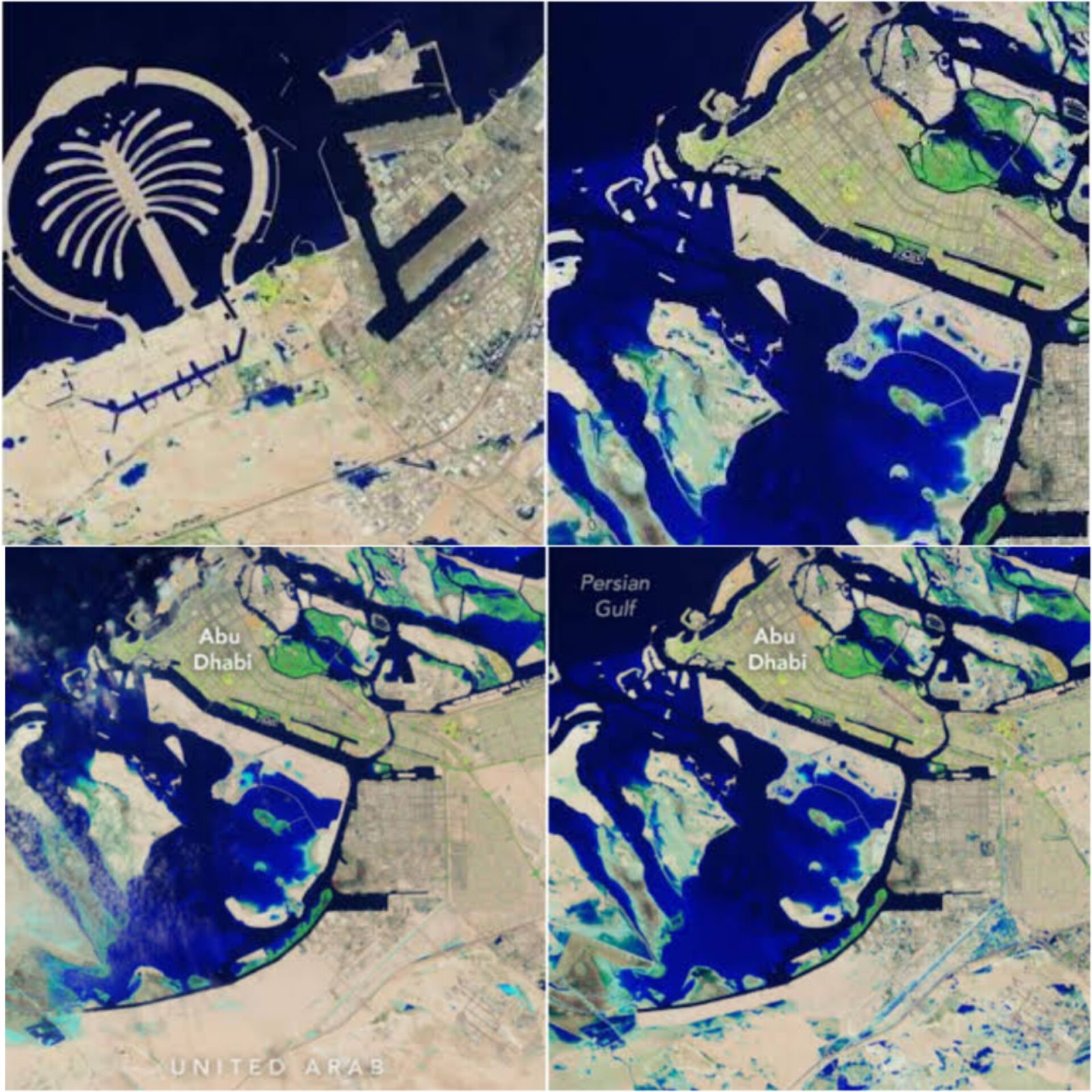
Unprecedented rainfall in the UAE led to widespread flooding, with Dubai experiencing a year's worth of rain in 12 hours. Satellite images captured by Landsat 9 show lingering floodwaters days after the deluge. Areas north and east of Abu Dhabi were hardest hit, with rainfall totals reaching 4 to 8 inches. The images, taken on April 19, highlight the stark contrast of deep blue floodwaters against the region's arid landscape. The event marks the most extreme weather event in the UAE's recorded history, prompting concerns about infrastructure resilience and disaster preparedness.