Brief by Shorts91 Newsdesk / 06:29am on 05 Jul 2026,Sunday Weather & Environment
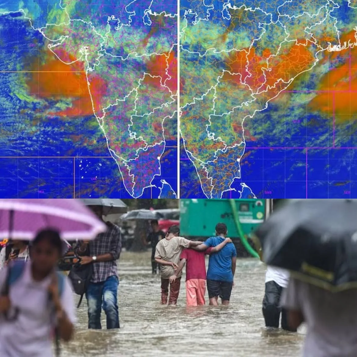
Satellite images from ISRO’s INSAT-3DR have captured two massive monsoon systems driving intense rainfall over Maharashtra and West Bengal. One sprawling convective cloud mass stretches from the east-central Arabian Sea into the Konkan coast, while another powerful system covers the northern Bay of Bengal, extending across Gangetic West Bengal, Bangladesh and adjoining northeastern states. Infrared imagery shows extremely cold, bright white cloud tops, signalling deep convection and vigorous thunderstorm activity capable of producing heavy rainfall. The twin weather systems have significantly strengthened the southwest monsoon, increasing rainfall across large parts of India. However, meteorologists warn the intensified systems also raise the risk of flooding, waterlogging, transport disruption and weather-related damage in vulnerable regions. (PC: India Today)