Brief by Shorts91 Newsdesk / 12:49pm on 06 Sep 2026,Sunday India Global
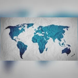
The world map many people commonly use can make India and other countries near the Equator appear smaller than their actual size because of the Mercator projection’s distortion. The United Nations has backed a move toward the Equal Earth projection, which preserves the relative areas of countries more accurately. India therefore appears somewhat larger on the Equal Earth map, while countries closer to the poles appear less exaggerated. The change is intended to provide a fairer geographical representation, particularly for Africa and other Global South regions. However, no flat map can perfectly represent Earth’s three-dimensional surface without some distortion. (PC: NDTV)