Brief by Shorts91 Newsdesk / 04:54pm on 07 Sep 2026,Monday India Global
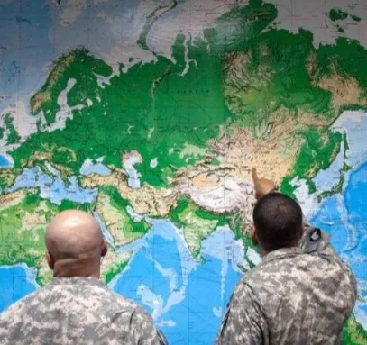
A new United Nations world map issued on July 1, 2026, has drawn attention for its depiction of Arunachal Pradesh and Aksai Chin between separate Indian and Chinese claim lines. The map marks Arunachal Pradesh’s southern boundary adjoining Assam as a “Chinese Line”, while its northern boundary with Tibet is shown as an “Indian Line”; its border with Nagaland is not shown. Aksai Chin is similarly placed between competing boundary markings. India officially considers Arunachal Pradesh and the entire Aksai Chin region part of its territory. The map separately marks the Line of Control in Jammu and Kashmir with a dotted line and notes its unresolved status. India’s MEA has called inaccurate or misleading depictions unacceptable. (PC: The Hindu)