Brief by Shorts91 Newsdesk / 04:41pm on 08 Sep 2026,Tuesday India Global
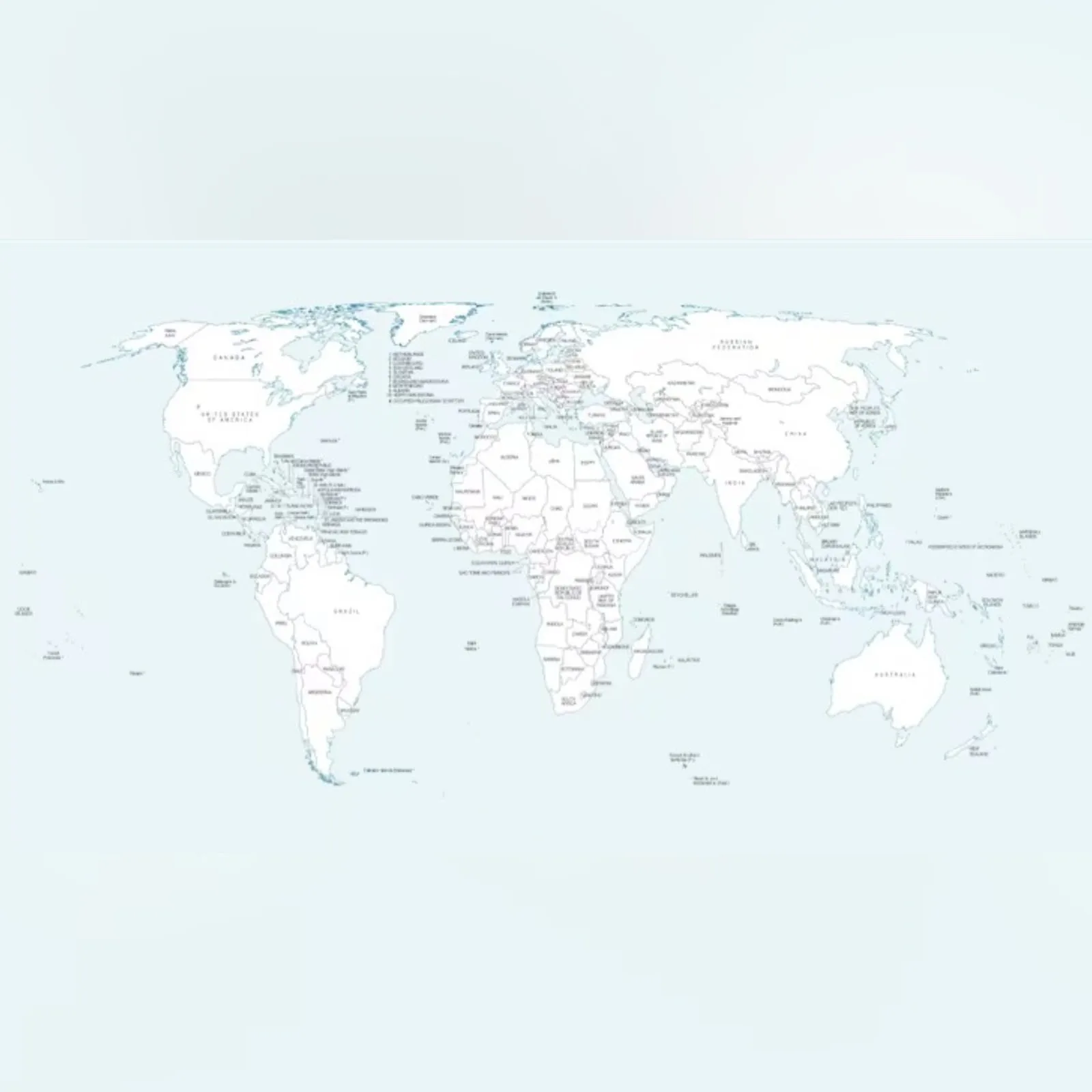
The United Nations’ world map has drawn attention for depicting Arunachal Pradesh and Aksai Chin as separate regions between Indian and Chinese claims. The map, first published on July 1 during discussions on the UN General Assembly’s “Correct the Map” resolution, shows Arunachal Pradesh as an independent state bordering Assam and China, while Aksai Chin is depicted with India to its west and China to its east. The UN has not explained the changes. India backed the resolution but stressed it does not endorse any map or boundary depiction. New Delhi said India’s sovereignty and territorial integrity are non-negotiable, while reiterating its claims over Arunachal Pradesh, Jammu and Kashmir and Ladakh. (PC: NDTV)